Site Name: Kohand
Date: ca. 1600-1699 CE
Subject: General view


 CENTER FOR ART AND ARCHAEOLOGY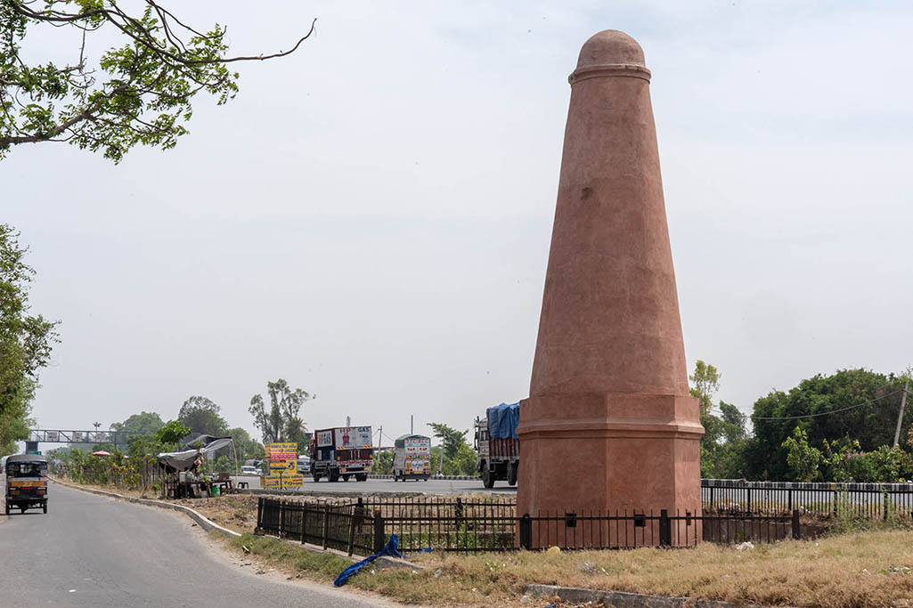
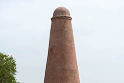
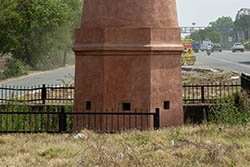
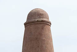
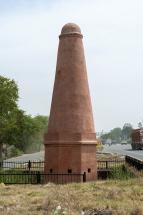
A Mughal-period distance marker located along
National Highway 44 (Old Grand Trunk Road), southeast of Kohand, Karnal,
Haryana. Probably constructed between 1600 and 1699 CE, the octagonal tower is
built of lakhori bricks with rubble masonry and lime mortar, and stands on a
brick platform with a ring moulding between the octagonal base and cylindrical
shaft. The monument is protected by the Archaeological Survey of India
(Chandigarh Circle) and remains well maintained, with no major structural
damage observed, though its base now lies below the present ground level.